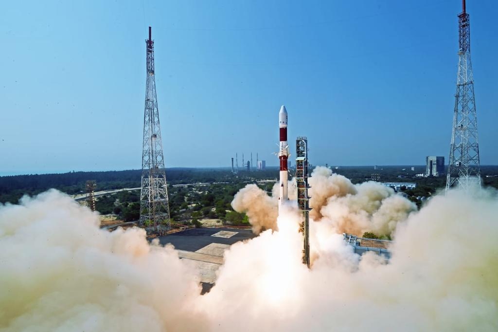
PSLV to launch Pixxel’s hyperspectral imaging satellite
The imagery from the satellite can be used to detect pest infestation, map forest fires, identify soil stress and oil slicks amongst other things, a statement from Pixxel said on Monday…reports Asian