
While the Oli government made a bungle, the Deuba government has not done any good with regard to the boundary issue with China,said experts…reports Asian Lite News
Irrespective of which party is running the government, China’s footprints have continuously grown in Nepal in the last few years, exposing the Himalayan nation’s unstable foreign policy.
Anil Giri, writing in The Kathmandu Post, said that governments in Nepal function based on the orientation of the party that is leading and when foreign policy matters are concerned, the Nepali state is confused.
Last year in September, reports surfaced that the Chinese side had built 11 buildings in a remote part of Humla district that Nepal claims as its own territory. The Ministry of Foreign Affairs was quick to say that there were no disputes, reported The Kathmandu Post.
“The Department of Survey, based on official records, reports of the joint field inspection and boundary maps, has verified and confirmed that the said buildings are not located within the Nepali territory,” read the statement.
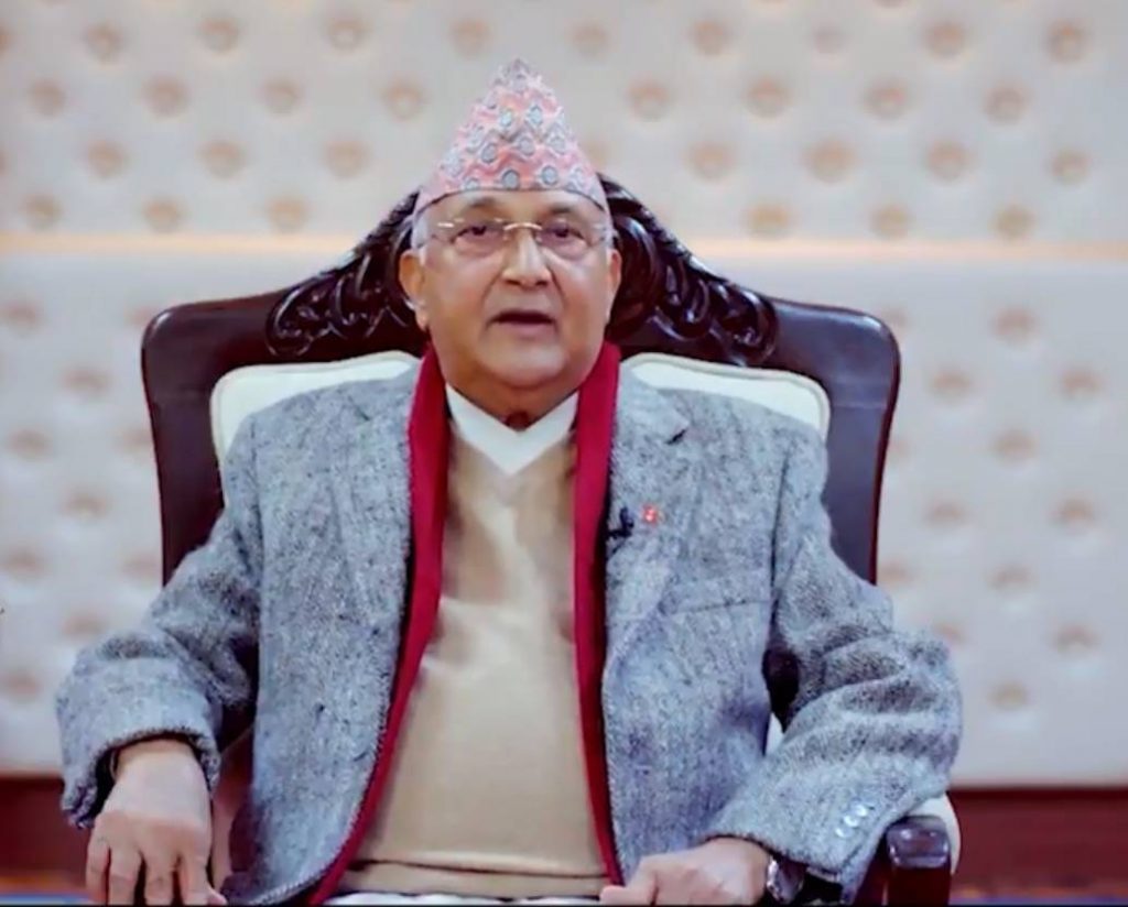
The government then was led by KP Sharma Oli, who now heads the CPN-UML. Oli was replaced by Nepali Congress’ Sher Bahadur Deuba on July 13. Deuba is mainly backed by the Communist Party of Nepal (Maoist Centre), which until March this year as part of the Oli government.
When it comes to relations with neighbours, a studied approach that is above partisan interests is required, and both Oli and Deuba have bungled, analysts say.
On Wednesday, Deuba formed a five-member team to “study” the boundary dispute with China. The team is headed by a joint secretary at the Ministry of Home Affairs. Neither the name of the joint secretary nor the terms of reference have been finalised yet, says Giri.
While the Oli government made a bungle, the Deuba government has not done any good with regard to the boundary issue with China, according to experts.
“Pradeep Gyawali, who was foreign minister [when the boundary row surfaced] should not have dismissed the issue in haste when an elected member raised the issue pertaining to Namkha Rural Municipality,” said Toyanath Baral, former Director General at the Department of Survey. “The then government should have dispatched a technical team or made public the report prepared by the chief district officer of Humla.”
Jeevan Bahadur Shahi, a member of the Karnali Provincial Assembly, after a field trip, had prepared a report, saying Pillar Nos. 9, 10, 11, 12, 5 (1), 6 (1), 7 (1) and 8 (1) were damaged in Humla district, which borders China.
Shahi had also claimed that Pillar No. 12 was replaced by the Chinese side; as a result, a large swathe of Nepali land had slipped into the Chinese side. Shahi’s report, however, was not owned by the government, reported The Kathmandu Post.
The Home Ministry instead formed a team under Chirinjivi Giri, chief district officer of Humla, to look into the matter and prepare a report. The report was never made public. The Foreign Ministry’s hasty statement dismissing any border dispute with the north is believed to have been issued to not irritate China, said Anil Giri.
Nepal and China had prepared a digital boundary map in 2005-6 but it could not be signed due to a dispute over the height of Mt Everest and one missing pillar in Rasuwa, according to Toyanath Baral, former Director-General at the Department of Survey, reported The Kathmandu Post.
“Since 1989 we have not signed any boundary protocol with China,” said Baral. “It seems that the Deuba government made the decision in a hurry. I don’t know whether the current government even examined the archives and other details before forming the panel.” (ANI)


