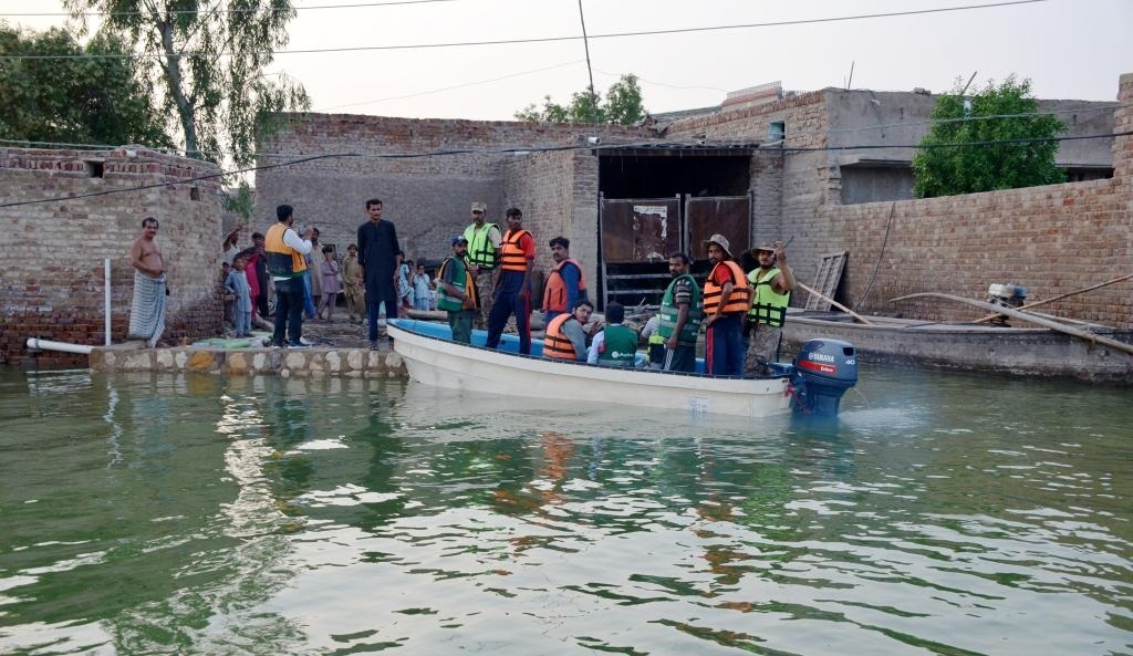
Researchers use satellites for faster flood information
Professor Stuart Phinn said the technique could play a vital role in protecting Australians during future flooding events…reports Asian Lite News Researchers at The University of Queensland have used satellites with radar
