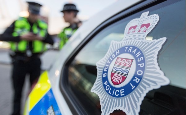
The Environment Agency issued a stark reminder for motorists not to drive through floodwaters, warning that as little as 30cm of moving water is enough to sweep away a vehicle
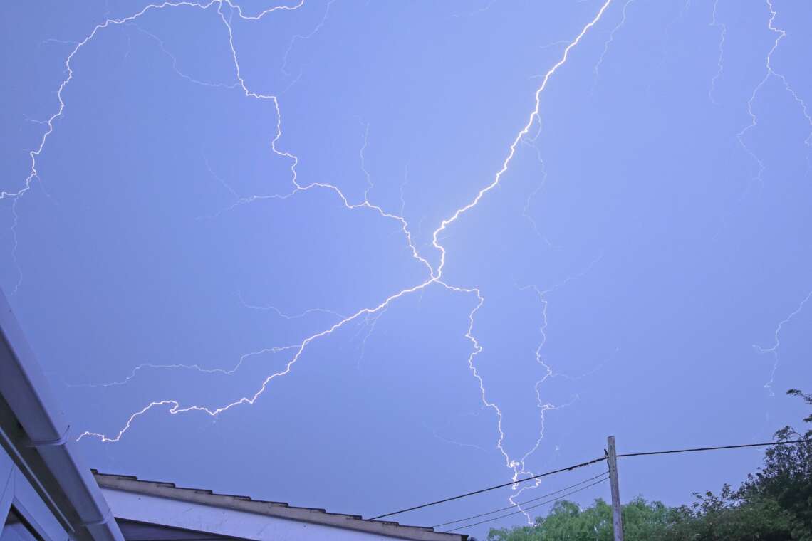
Heavy thunderstorms swept across the UK this weekend, unleashing tens of thousands of lightning strikes, triggering flash floods, and causing significant disruption to travel services, just hours after the country experienced its hottest day of the year.
According to the Skynews report, the Met Office confirmed that over 30,000 lightning strikes were recorded overnight on Friday, the majority of them striking offshore areas. An amber weather warning, in effect for much of Saturday, covered regions including the South West, North East, and North of England, as well as Wales and large parts of Scotland. The warning expired at 6pm, though the impact of the storms continued to be felt.
Friday had seen a sweltering peak temperature of 29.4°C (84.9°F) in Santon Downham, Suffolk—the highest recorded so far this year—before a dramatic shift in weather patterns brought torrential rainfall and severe thunderstorms.

Some areas saw as much as 30-50mm of rain in just a few hours, with isolated locations possibly reaching up to 80mm, according to the Met Office. The intense downpours were accompanied by hail and strong gusts of wind, making driving conditions hazardous and causing flooding in homes, businesses, and on key roadways.
The Environment Agency issued a stark reminder for motorists not to drive through floodwaters, warning that as little as 30cm of moving water is enough to sweep away a vehicle. Flood warnings and alerts were triggered across several regions. Devon saw five flood warnings issued overnight, while 46 flood alerts were active across the South West, South East, and Midlands. These have since been removed, as have six alerts from Natural Resources Wales.
In Kent, roads in and around Dover were submerged following heavy overnight rainfall. In East Sussex, a fire broke out at a residential building in St Leonards-on-Sea, which local fire services suspect was caused by a lightning strike.
Rail travel was also hit hard. A landslip between Exeter St Davids and Okehampton halted all train services on that route. Due to ongoing weather conditions, it was deemed unsafe for engineers to access the affected site during the day. National Rail and other operators advised passengers to check for updates before travelling on Saturday.
Air travel was not spared either. Heathrow Airport issued an apology to passengers on Friday night after delays were caused by what it described as “adverse weather conditions.”
Speaking to Sky News, weather producer Steff Gaulter explained: “The most active thunderstorms are over parts of Wales, Northern Ireland, Northern England and Scotland, and some are still bringing localised downpours and strong winds.”
She added that the storms were expected to move northwards and become more concentrated in Northern Ireland and Scotland by Saturday afternoon. Other regions would experience a mix of sunshine and showers, with the worst of the weather easing as the day progressed.
Looking ahead, Gaulter noted that calmer conditions are on the horizon: “From tomorrow, an area of high pressure will start to stretch towards us, and the weather next week is looking far calmer and quieter.”