Retreating glaciers, unstable terrain and rapid development raise fears of more cascading disasters….reports Asian Lite News Desk
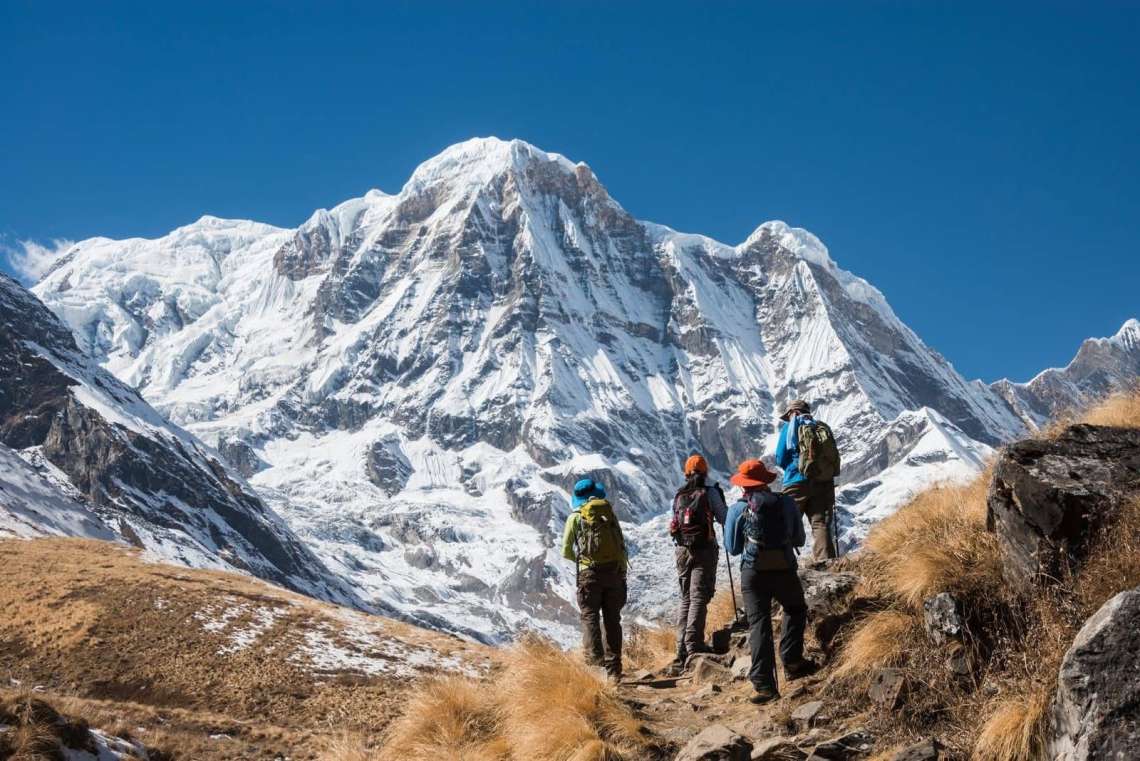
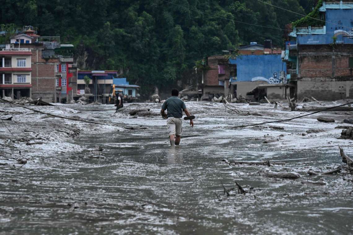
The latest flash floods in Nepal have renewed global concern over the growing vulnerability of the fragile Himalayan region, where rising temperatures, retreating glaciers and rapid infrastructure development are increasing the risk of cascading natural disasters.
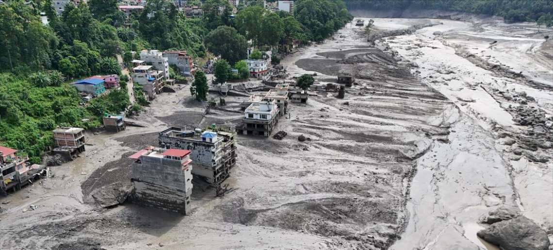
Evidence from the August 26, 2026 disaster points to a glacier and rock collapse followed by a massive debris avalanche, rather than an ordinary monsoon flood. The collapse reportedly triggered an ice-rock avalanche that temporarily blocked and surged the Bhote Koshi River, sending enormous volumes of debris downstream and causing widespread destruction.
Nepal sits in one of the world’s most geologically unstable regions, positioned along the collision zone between the Indian and Eurasian tectonic plates. The combination of active tectonics, steep terrain, intense monsoon rainfall and rapidly changing glaciers has created multiple overlapping risks.

Heavy rainfall can saturate already fractured slopes, increasing the likelihood of landslides, while retreating glaciers and thawing high-altitude environments are adding a new layer of instability. Nepal has thousands of glacial lakes, some of which pose the risk of catastrophic Glacial Lake Outburst Floods, or GLOFs. More than 100 flood-related events, including glacial outbursts, cloudbursts, landslides and major river floods, have been documented in Nepal since 1954.
The disaster has also drawn attention to large-scale infrastructure development in the Himalayas. Roads, tunnels, hydropower projects and cross-border transport links often require mountain cutting, blasting, excavation and the alteration of natural drainage systems.
Several major connectivity projects are being developed along the Nepal-China border, particularly around the strategically important Gyirong-Rasuwagadhi corridor. The region became a focal point during the August disaster after flooding devastated parts of the key China-Nepal land connection.

Environmental experts have warned that infrastructure development does not necessarily cause glacier collapses or floods, but construction in exceptionally steep, seismically active and hydrologically unstable terrain can increase existing risks.
China is also undertaking major infrastructure and hydropower projects across the Tibetan plateau, including the Yarlung Tsangpo mega hydropower project. Such developments have raised concerns about their potential ecological impact in an already fragile Himalayan environment.
Nepal is simultaneously pursuing a major expansion of its hydropower sector, supported by domestic and foreign investment. While such projects are crucial to the country’s economic ambitions and energy security, experts argue that development must be accompanied by stronger environmental and geological safeguards.

The article calls for cumulative environmental impact assessments across entire river basins, stricter controls on mountain slope cutting and comprehensive monitoring of glaciers and permafrost. It also recommends real-time GLOF warning systems and greater cross-border sharing of satellite, hydrological and seismic data.
The International Centre for Integrated Mountain Development, or ICIMOD, could play a greater role in developing an advanced Himalayan disaster-warning mechanism, while closer cooperation between Nepal and downstream countries such as India could help address the transboundary consequences of disasters.
Nepal Prime Minister Balendra Shah said on September 2 that climate change was a shared global responsibility and called for stronger international action on climate justice, arguing that vulnerable Himalayan nations needed more than post-disaster assistance.
The recent catastrophe, he said, should serve as a warning not only for Nepal but for the wider Himalayan region and the world.